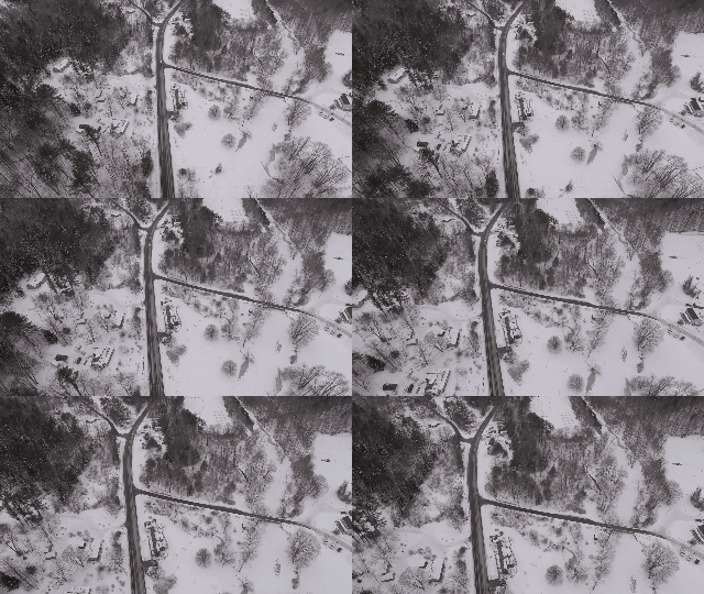
Federal scientists are watching for potential flooding near a mile-long ice jam on a river outside Manchester.
Ice jams form when chunks of a frozen river get caught up in a choke point, blocking the flow of water from upstream.
The Piscataquog River in New Boston and Goffstown had a big ice jam just last year. Now, it's clogged again - but officials say this jam is a big problem.
That's because it formed quickly during a series of freeze-thaw cycles, making it unstable. If and when it breaks, it'll let water burst through suddenly – potentially damaging nearby homes, businesses and roads.
This week, the US Geological Survey installed a rapid deployment flood gauge near the ice jam.
It will provide data for emergency managers and residents every 15 minutes, and could give them early warning of a coming flood.
Officials say the gauge will stay in place until the danger subsides – hopefully as the jam melts gradually.


