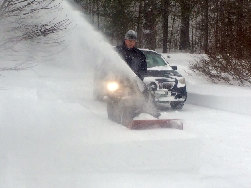
February was a brutally cold and snowy month for New Hampshire, but just how bad was it?
State Climatologist Mary Stampone joined Morning Edition to share some facts and figures from the past month of winter weather.
Put February into context for us. It was cold, but was this the coldest February in state history?
It is likely to be one of the coldest Februarys on record throughout much of the state. Some stations it’ll likely be the coldest, while at some others it will be within the top five coldest.
Can you point to anything in particular as a cause for this extremely cold weather?
A lot of it has to do with the position of the jet stream and the fact that it was positioned well to our south for much of the month, allowing that cold, arctic air to filter in over the region.
I know in Concord, we were something like 12 degrees below normal on average. Can you explain that for me?
Yes, we track temperatures both in their maximum temperatures, which happen during the day, and the minimum temperatures, which happen at night, then of course the average of the two. Both the average maximums and minimums were both at least 10 degrees below what we would normally expect for February. For those nighttime low temperatures, we actually averaged out to be around 0 degrees for the month, which looks to be probably one of the coldest nighttime temperatures we’ve had on our record.
And obviously we saw just a massive amount of snow last month, particularly in southern New Hampshire and along the Seacoast. Any records set there?
It might be one of the snowiest Februarys on record across the southern portion of the state. We were in general about double the amount of snowfall that we typically see in February. Stations across the southern portion of the state received anywhere from 40 to 50 inches of snow throughout the month of February.
What’s the weather been like on top of Mount Washington?
They have received just over 200 inches of snow so far this winter total. That is above the average they would expect through this point in the winter, but it’s still well below the record of 440 inches of snow they got through February in 1969.
What’s your prognosis for March?
We need to worry about all of this snow melting. Right now, there’s probably about a couple of months’ worth of liquid water equivalent precipitation sitting on the surface, so we kind of need a slow warm up to get that water out there without us flooding.
Do you see that slow warm up on the horizon?
It’s difficult to say at this point. All the snow tends to keep things a little colder, and the fact that we’ve been below average means we’ll probably remain a bit below average in March, but time will tell.
If you have a prolonged period where you have below-average temperatures, are we likely to see a correction come later this spring or even the summer where we see temperatures above average?
Not necessarily. There are times where we do end up being warmer in the summer than we usually are, but if you think about last year when we had a slightly colder than usual winter we were actually slightly colder through part of the summer.


